File:Atlantic Ocean location map.svg

Size of this PNG preview of this SVG file: 508 × 599 pixels. Zvimwe misimbiro: 203 × 240 pixels | 407 × 480 pixels | 651 × 768 pixels | 868 × 1,024 pixels | 1,737 × 2,048 pixels | 714 × 842 pixels
Fayera repachivambo (SVG file, nominally 714 × 842 pixels, file size: 234 KB)
Muchipfupiso
| Mutsananguro |
Deutsch: Positionskarte des Atlantischen Ozeans
Quadratische Plattkarte. Geographische Begrenzung der Karte:
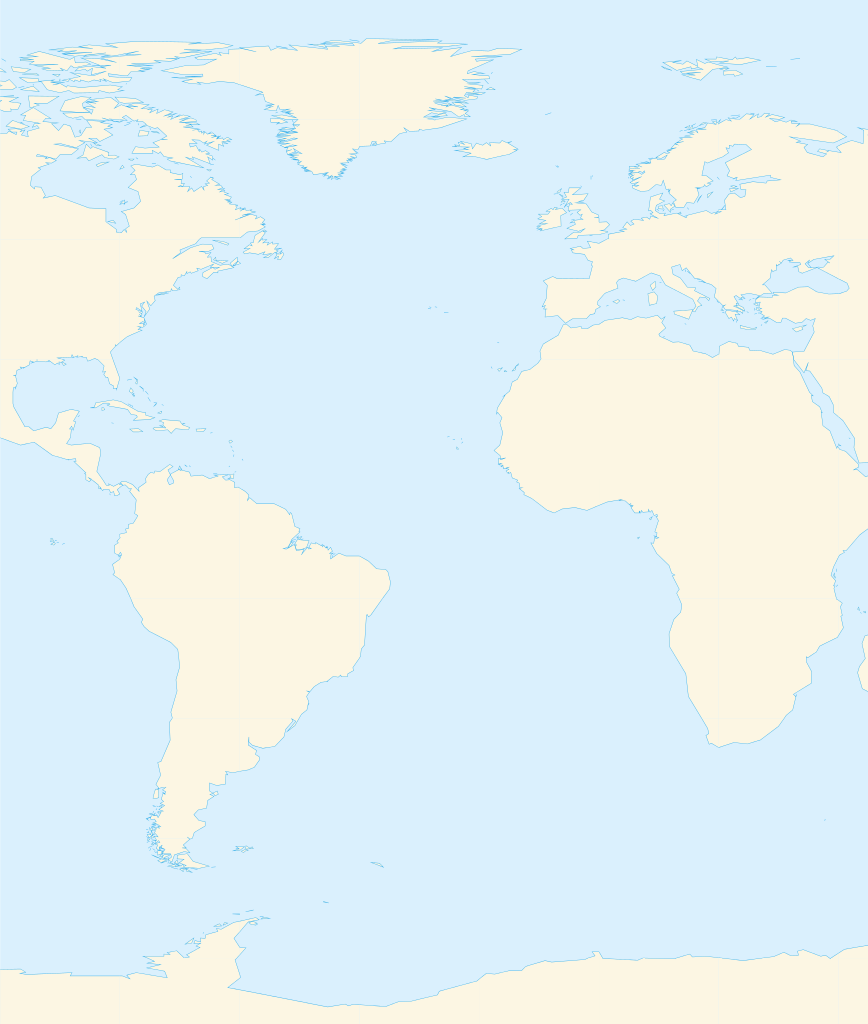
English: Location map of the Atlantic Ocean
Equirectangular projection. Geographic limits of the map:
|
| Musi | |
| Mabviro | Basa rangu, Using GMT |
| Munyori | Catrin |
| Other versions | File:Atlantic Ocean satellite image location map.jpg |
Kurezinesa
I, the copyright holder of this work, hereby publish it under the following licenses:

|
Permission is granted to copy, distribute and/or modify this document under the terms of the GNU Free Documentation License, Version 1.2 or any later version published by the Free Software Foundation; with no Invariant Sections, no Front-Cover Texts, and no Back-Cover Texts. A copy of the license is included in the section entitled GNU Free Documentation License. |
This file is licensed under the Creative Commons Attribution-Share Alike 3.0 Unported, 2.5 Generic, 2.0 Generic and 1.0 Generic license.
- Wakasungunuka:
- kugova – kucheza, kugovera ne kutumira basa
- kurhimikisa – kugadzirisa basa
- Pasi pemamiriro anotevera:
- Uzikano – Unofanhira kupa kiredhiti yakakodzeka, ipa kochekero yekune rezinesi, uye ratidza kana zvichinjirudzo zvaitwa. Ita sokudaro zviichienderana nenzira inonzwisisika, asi kwete nenzira ingaratidze zvekudii kuti murezinesi anokutsigira kana kushandiso kwako.
- gova saizvo – If you remix, transform, or build upon the material, you must distribute your contributions under the same or compatible license as the original.
Unokwanisa kusarura rezinesi inoenderana nezvaunoda.
Nhoroondo ye fayera
Dzvanya pa musi/nguva kuti uringe fayera sekuoneka kwaraita panguva iyoyo.
| Musi/Nguva | Mfananoudoko | Mitandu | Mushandisi | Komenda | |
|---|---|---|---|---|---|
| parizvino | 14:39, 19 Kurume 2010 | | 714 × 842 (234 KB) | Catrin | Replacing broken Version |
| 14:34, 19 Kurume 2010 | Hapana mfananoudoko | (126 bytes) | Catrin | {{Information |Description={{de|Positionskarte des Atlantischen Ozeans}} Quadratische Plattkarte. Geographische Begrenzung der Karte: * N: 90° N * S: 81° S * W: 100° W * O: 45° O {{en|Location map of the [[:en:Atlantic Ocean |
Kushandiswa kwe fayera
There are no pages that use this file.
Kushandiswa kwe fayera pasirose
Mawiki anotevera ayo anoshandisa fayera iri:
- Hushandiso pa ar.wikipedia.org
- ألمانيا
- موريتانيا
- فرنسا
- الصحراء الغربية
- أنغولا
- بلجيكا
- آيسلندا
- إسبانيا
- السنغال
- غامبيا
- غينيا بيساو
- غينيا
- سيراليون
- ليبيريا
- غانا
- توغو
- بنين
- الغابون
- ساحل العاج
- السويد
- البرتغال
- كندا
- الكاميرون
- الأرجنتين
- جمهورية الكونغو الديمقراطية
- المملكة المتحدة
- جمهورية الكونغو
- ساو تومي وبرينسيب
- ناميبيا
- جمهورية أيرلندا
- الرأس الأخضر
- سورينام
- غيانا
- غينيا الاستوائية
- الجمهورية العربية الصحراوية الديمقراطية
- جرينلاند
- المغرب
- سكان الجمهورية العربية الصحراوية الديمقراطية
- قالب:البلدان والأقاليم المتاخمة للمحيط الأطلسي
- ليبورني
- سفيلاند
- نارك
- فاستمانلاند
- جيش التحرير الشعبي الصحراوي
- Hushandiso pa de.wikipedia.org
- Hushandiso pa fr.wikipedia.org
Ringa kushandiswa kumwe kwe vupasirose kwe fayera rino.