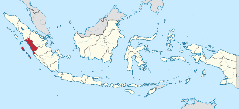
File:West Sumatra in Indonesia.svg

Size of this PNG preview of this SVG file: 800 × 367 pixels. Zvimwe misimbiro: 320 × 147 pixels | 640 × 293 pixels | 1,024 × 469 pixels | 1,280 × 587 pixels | 2,560 × 1,173 pixels | 982 × 450 pixels
Fayera repachivambo (SVG file, nominally 982 × 450 pixels, file size: 793 KB)
Muchipfupiso
.svg)
.svg)
.svg)
.svg)
.svg)
.svg)
.svg)

-en.svg)

.svg)
.svg)
.svg)

_(US48).svg)
_(small_islands_magnified)_(-mini_map_-rivers).svg)
.svg)
_(extra_close)_(US48).svg)
.svg)
_(zoom).svg)

.svg)


_(UNMIK).svg)
.svg)
_(disputed_hatched).svg)
_(claimed_and_disputed_hatched).svg)
.svg)
.svg)
_(%2Ball_claims_hatched).svg)

.svg)
_(shade).svg)
_(shade)_(special_marker).svg)
_(-mini_map).svg)
_(-mini_map).svg)
_(-mini_map).svg)


.svg)

.svg)
Kurezinesa
I, the copyright holder of this work, hereby publish it under the following licenses:

|
Permission is granted to copy, distribute and/or modify this document under the terms of the GNU Free Documentation License, Version 1.2 or any later version published by the Free Software Foundation; with no Invariant Sections, no Front-Cover Texts, and no Back-Cover Texts. A copy of the license is included in the section entitled GNU Free Documentation License. |
This file is licensed under the Creative Commons Attribution-Share Alike 3.0 Unported license.
- Wakasungunuka:
- kugova – kucheza, kugovera ne kutumira basa
- kurhimikisa – kugadzirisa basa
- Pasi pemamiriro anotevera:
- Uzikano – Unofanhira kupa kiredhiti yakakodzeka, ipa kochekero yekune rezinesi, uye ratidza kana zvichinjirudzo zvaitwa. Ita sokudaro zviichienderana nenzira inonzwisisika, asi kwete nenzira ingaratidze zvekudii kuti murezinesi anokutsigira kana kushandiso kwako.
- gova saizvo – If you remix, transform, or build upon the material, you must distribute your contributions under the same or compatible license as the original.
Unokwanisa kusarura rezinesi inoenderana nezvaunoda.

|
I'd greatly appreciate, that you attribute this media file to Wikimedia Commons, if used outside Wikipedia or Commons. For use in publications such as books, newspapers, blogs, websites, please insert here the following line:
|
Nhoroondo ye fayera
Dzvanya pa musi/nguva kuti uringe fayera sekuoneka kwaraita panguva iyoyo.
| Musi/Nguva | Mfananoudoko | Mitandu | Mushandisi | Komenda | |
|---|---|---|---|---|---|
| parizvino | 17:29, 5 Zvita 2022 | | 982 × 450 (793 KB) | NordNordWest | upd 2022 |
| 10:18, 8 Nyamavhuvhu 2021 |  | 982 × 450 (912 KB) | Afrogindahood | Fix on Papua-West Papua border | |
| 08:00, 3 Gunyana 2013 | 1,200 × 460 (875 KB) | TUBS | |||
| 09:47, 29 Gunyana 2011 | 1,200 × 460 (1.34 MB) | TUBS |
Kushandiswa kwe fayera
The following page uses this file:
Kushandiswa kwe fayera pasirose
Mawiki anotevera ayo anoshandisa fayera iri:
- Hushandiso pa ar.wikipedia.org
- Hushandiso pa ast.wikipedia.org
- Hushandiso pa az.wikipedia.org
- Hushandiso pa ban.wikipedia.org
- Hushandiso pa ca.wikipedia.org
- Hushandiso pa cdo.wikipedia.org
- Hushandiso pa cs.wikipedia.org
- Hushandiso pa de.wikipedia.org
- Hushandiso pa de.wikivoyage.org
- Hushandiso pa diq.wikipedia.org
- Hushandiso pa en.wikipedia.org
- West Sumatra
- Bayua
- Mount Talang
- Pasumpahan
- Mentawai Strait
- Padang Panjang
- Sijunjung Regency
- Sipora
- Mount Tandikat
- Mount Talakmau
- Mount Singgalang
- Lake Singkarak
- Mount Sago
- Solok
- Tanah Datar Regency
- Batusangkar
- Lake Diatas
- Lake Dibawah
- Dharmasraya Regency
- Lima Puluh Kota Regency
- Pasaman Regency
- Solok Regency
- West Pasaman Regency
- South Solok Regency
- North Pagai
- Template:WSumatra-geo-stub
- South Pagai
- Baso (village)
- Batuhampar
- Sikuai
- Sikakap
- Padang Barat
- Lubuk Basung
- Pulau Punjung
- Sarilamak
Ringa kushandiswa kumwe kwe vupasirose kwe fayera rino.